

Topography software for the design of digital terrain models
People that work in the world of topography can now download TopoCal. This utility is a CAD software capable of creating digital models of any topographic project making the most of the great power of the software.
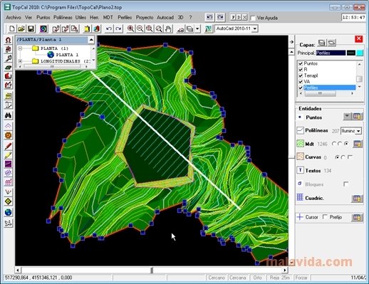
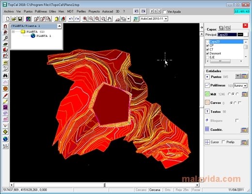
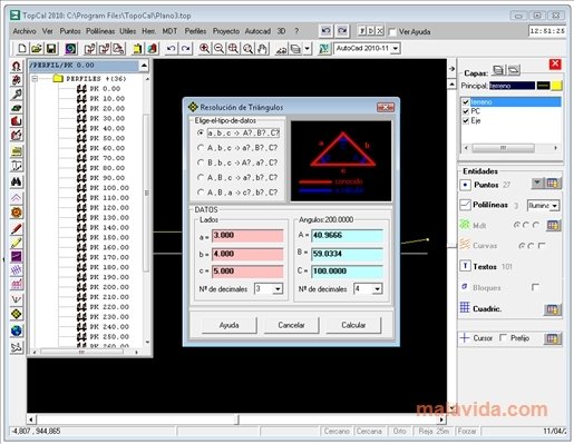
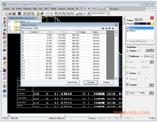
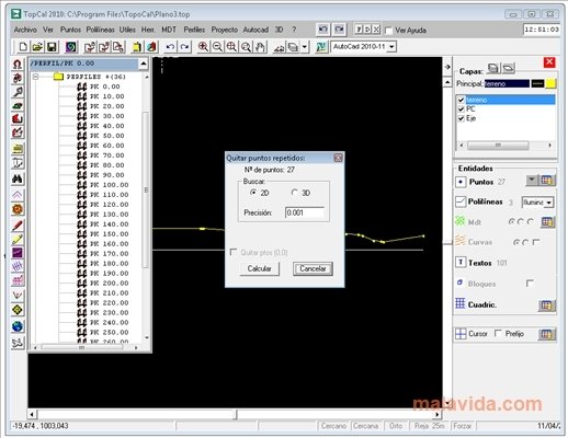
TopoCal is specially designed for the management of digital terrain models. This software is capable of reading files in DXF format as well as ASCII points. It's possible to complete all kinds of common tasks, like the triangulation, the 3D viewing, MDT exporting...
Professional topography software
Compare DTMs, perform calculations of ground slopes and terraces with variable and fixed quotes, make dynamic calculations of maps from transverse profiles, perform direct readings from AutoCAD, work with TOP files, with blocks... The main functions of this kind of program have been perfectly implemented in TopoCal despite being a free tool.
TopoCal is one of the best alternative applications to the expensive CAD programs developed for the topography field. A free tool that shouldn't be missing from your daily work. Download TopoCal for free to start working on your own designs.
 Héctor Hernández
As a technology journalist with over 12 years of experience in the world of software and apps, I have had the opportunity to try all kinds of devices and operating systems over the years. I have done from software or mobile applications reviews...

Antony Peel